-
Jan 25, 2018, 12:14 pm196 pts Mongabay
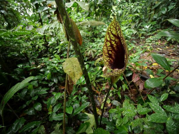
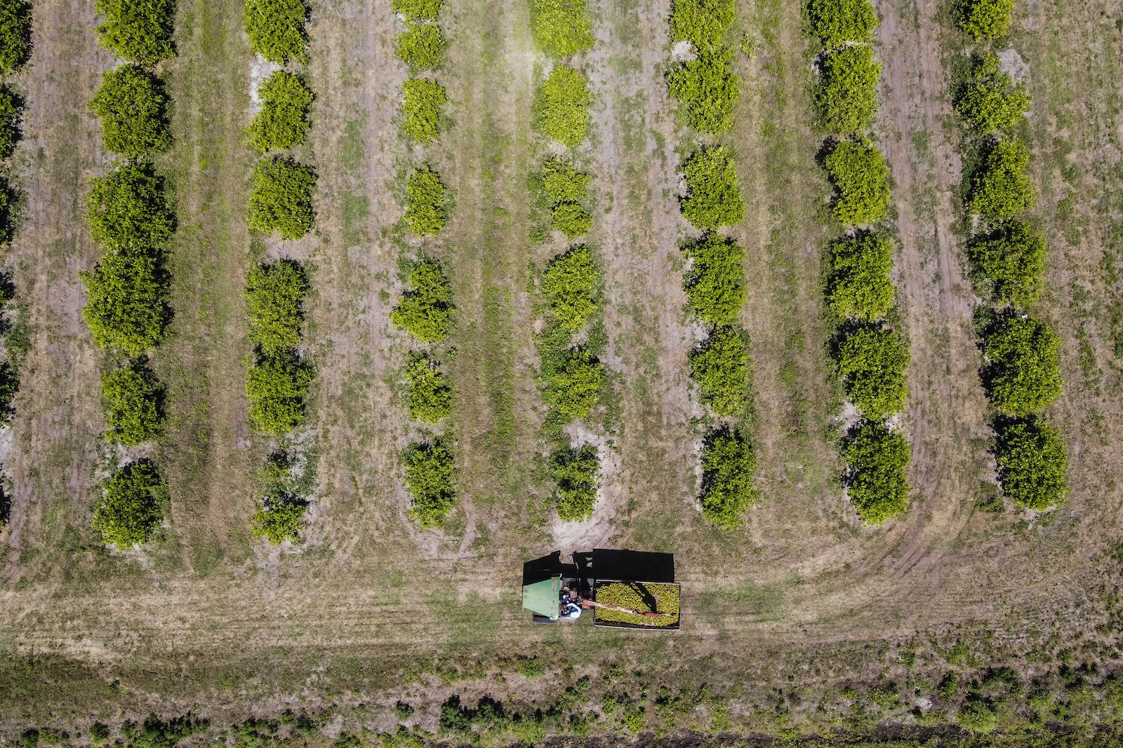
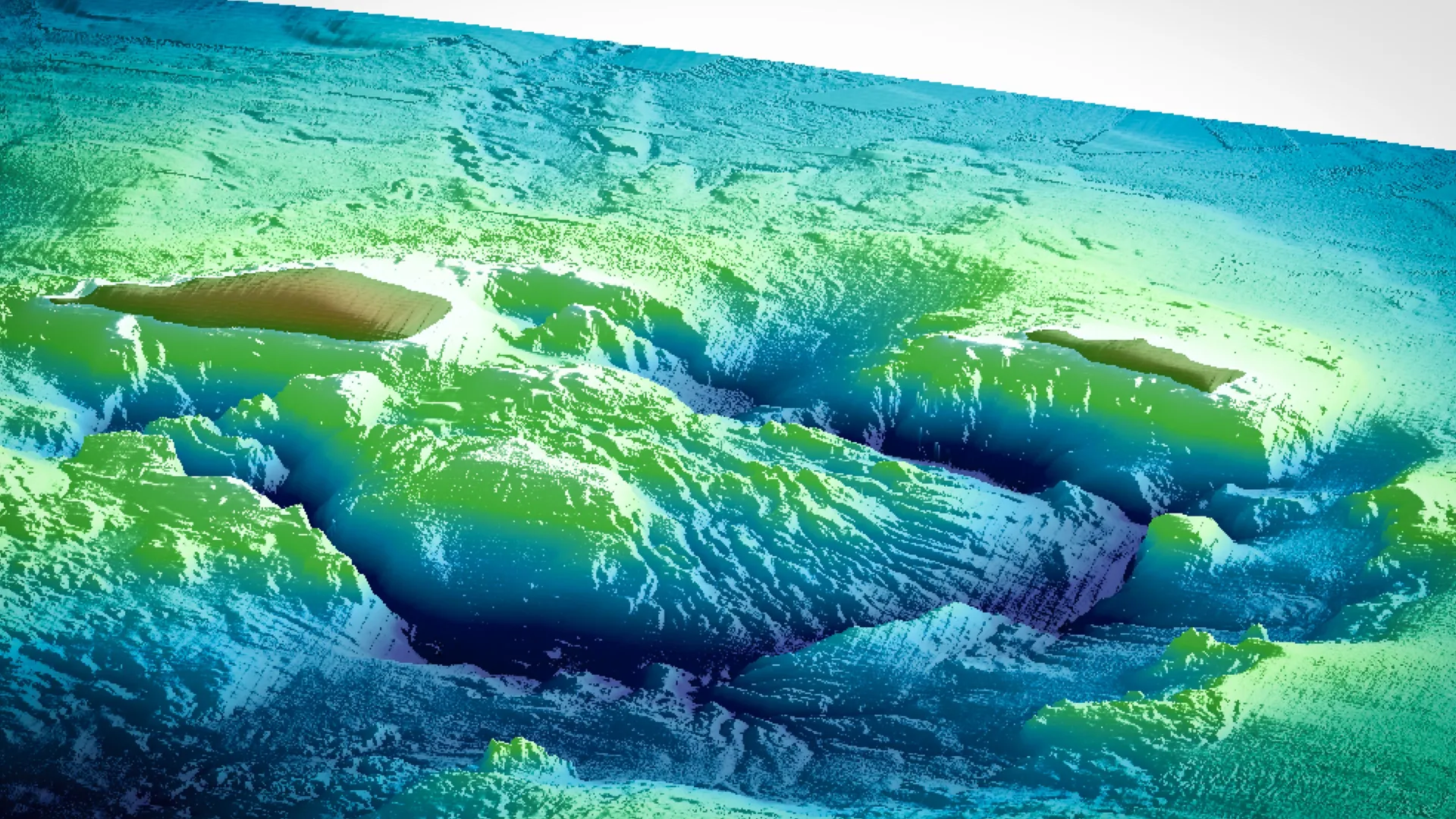
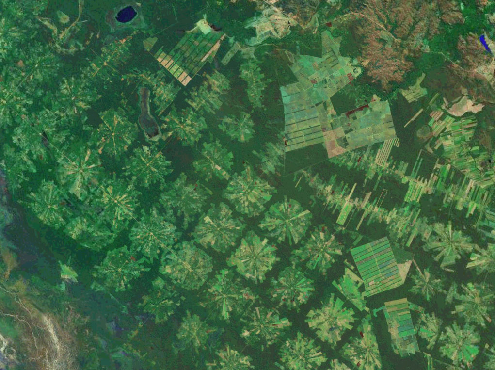 Imagine you needed to map the spread of an invasive plant species in a tropical forest. Hyperspectral imaging and LiDAR are great at identifying vegetation, but have their limitations and tend to be costly. Other, more accessible remote-sensing technologies now exist that, combined, can do the trick. Radar,…
Trending Today on EcoTopical


Welcome to EcoTopical Your daily eco-friendly green news aggregator.
Leaf through planet Earths environmental headlines in one convenient place. Read, share and discover the latest on ecology, science and green living from the web's most popular sites.
Leaf through planet Earths environmental headlines in one convenient place. Read, share and discover the latest on ecology, science and green living from the web's most popular sites.