-
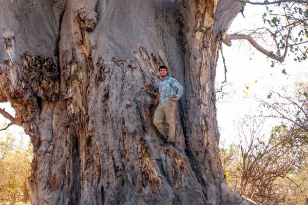
Oct 20, 2017, 11:28 pm361 pts MongabayA recent study mapped the world’s dry forests using a relatively new tool that combines creative satellite image analysis with local- and national-scale knowledge. Natural resource agencies worldwide inventory their country’s vegetation cover, land uses, and forest carbon stocks in order to quantify the…
Trending Today on EcoTopical
Welcome to EcoTopical Your daily eco-friendly green news aggregator.
Leaf through planet Earths environmental headlines in one convenient place. Read, share and discover the latest on ecology, science and green living from the web's most popular sites.
Leaf through planet Earths environmental headlines in one convenient place. Read, share and discover the latest on ecology, science and green living from the web's most popular sites.


