-
Sep 19, 2017, 3:38 pm175 pts ENN
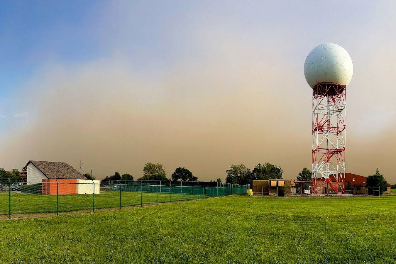
ENN Satellite data is enabling forecasters to look inside and outside of powerful Hurricane Maria. A NASA animation of satellite imagery shows Hurricane Maria's first landfall on the island of Dominica. NASA's GPM satellite provided a 3-D look at the storms within that gave forecasters a clue to Maria strengthening…
Trending Today on EcoTopical
Welcome to EcoTopical Your daily eco-friendly green news aggregator.
Leaf through planet Earths environmental headlines in one convenient place. Read, share and discover the latest on ecology, science and green living from the web's most popular sites.
Leaf through planet Earths environmental headlines in one convenient place. Read, share and discover the latest on ecology, science and green living from the web's most popular sites.


![Stellantis’ new EV battery tech will put it ahead of – well, EVERYONE [video]](https://electrek.co/wp-content/uploads/sites/3/2025/09/Peugeot-E-3008_MAIN.jpg?quality=82&strip=all)
