-
Sep 11, 2017, 9:53 am38 pts ENN
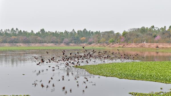
ENN As Hurricane Irma approached southern Florida, a NASA satellite captured a night-time image of the storm in the Florida Straits and identified where the strongest storms were occurring within Irma's structure. NOAA's GOES satellite provided a visible image at the time of Irma's landfall in the Florida Keys.
Trending Today on EcoTopical


Welcome to EcoTopical Your daily eco-friendly green news aggregator.
Leaf through planet Earths environmental headlines in one convenient place. Read, share and discover the latest on ecology, science and green living from the web's most popular sites.
Leaf through planet Earths environmental headlines in one convenient place. Read, share and discover the latest on ecology, science and green living from the web's most popular sites.